
We are super slow getting out of camp this morning. Our tent is wet from the rain last night, and taping up all of the blisters on our feet takes a while. With a slightly shorter distance to hike, we decide that this is a good morning to cook up our trail-tested (patent pending) crunchy Frito bean burrito, and it is a welcome change of pace after so many mornings of breakfast bars.

Our socks and shoes are still soaking wet from the rain at the end of the day, so we delay putting on our wet shoes until the last possible moment. We decide to fish out our dirty socks because they are dry. We string our “cleaner” wet socks onto the outside of our backpacks. The hope is that they will dry out over the next few hours, and we can change into them somewhere down the trail.
This camp represents the 100 mile mark from the Southern Terminus on the trail, so we construct the number out of lichen-covered twigs we find on the ground to celebrate the milestone. Just before leaving, the backpacker from Madison emerges from his tent, and we wish him well as we depart.

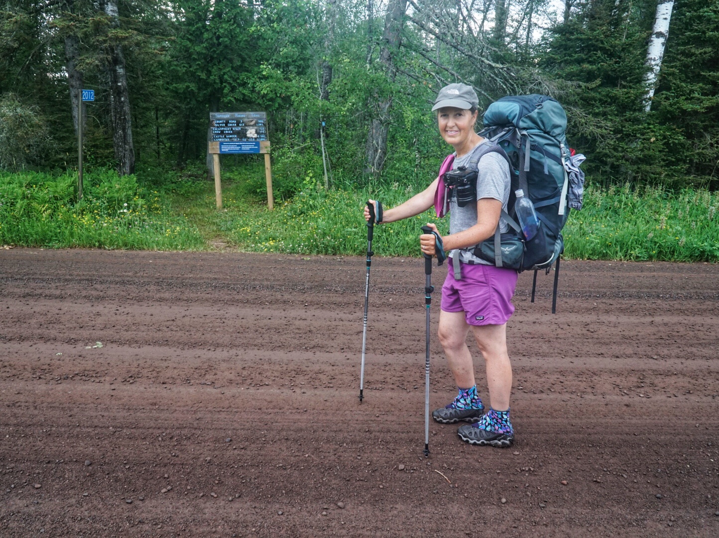
It is a quick 1.1 miles to the nearest trailhead. We cross the road and begin the next section that will take us to the Encampment River. The bridge has been out there for years, but the river is supposed to be easily passable on foot outside of the spring runoff season or unless there has been a big rain event. We don’t think last night’s rain produced enough water to be an issue, but time will tell.

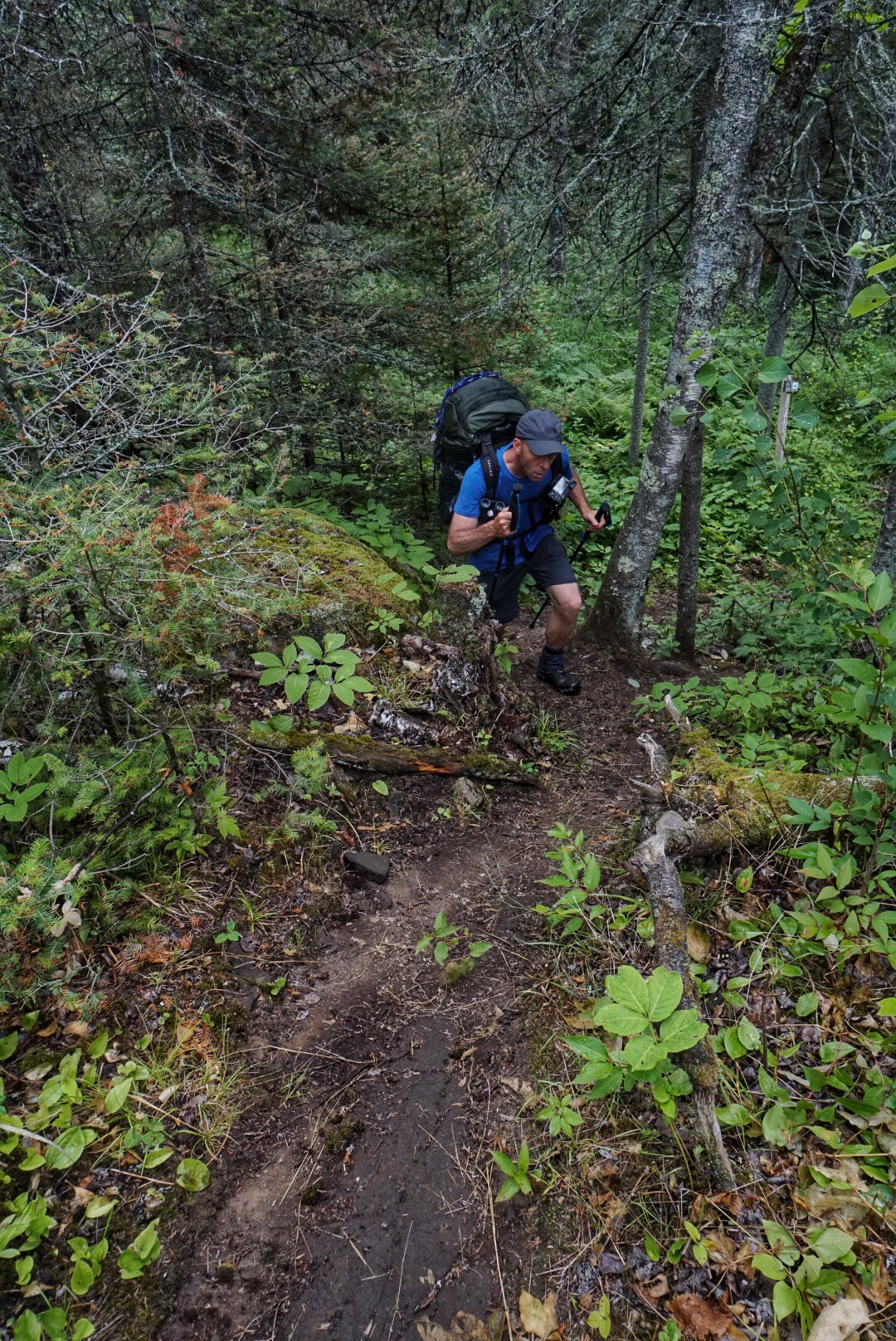
The trail is wet and muddy from yesterday’s rain. There are lots of slugs, and we are careful to avoid the slippery tree roots. We encounter some beautiful Turks Cap Lilies and spend a little quality time with them before continuing on.


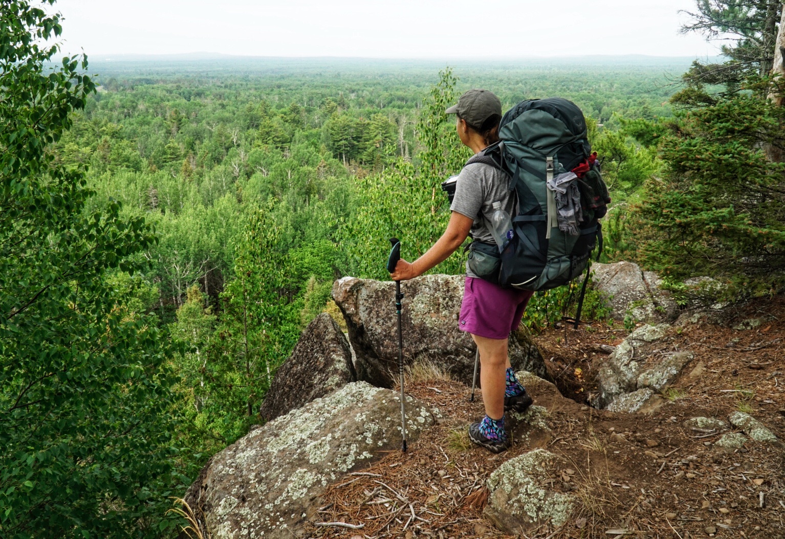
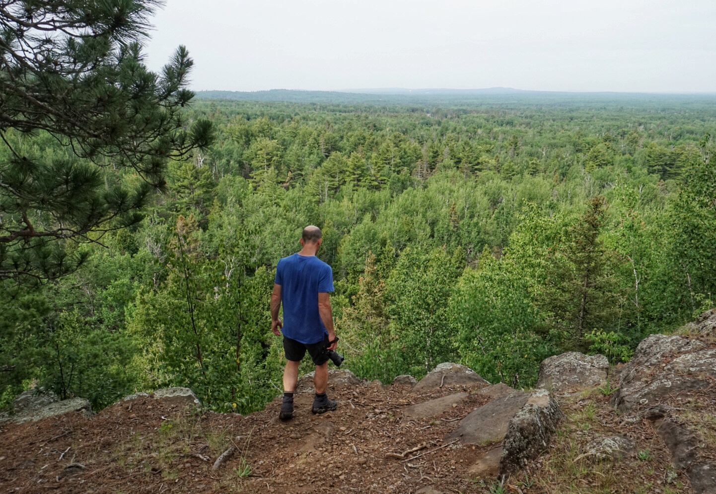
We hit a nice steep section, with rocky steps up to a ridge with a view of the town of Two Harbors off in the distance. There are lots of tall, stately White Pines along this stretch of trail, and it is blanketed by their soft red needles which are much appreciated by our sore feet.
We pass numerous Private Property signs, reminding us to stay on the trail and not camp in the vicinity. The signs are good reminders that much of this trail is made up of easements on privately owned land which is pretty amazing when you think about it.

We have a few more short, vertical sections before a big descent to the unbridged Encampment River that is barely flowing at this point in the season. We are so happy we didn’t take the road detour to get around this. What a waste of time that would have been! We stop to filter water, have a snack and dry out the tent fly.
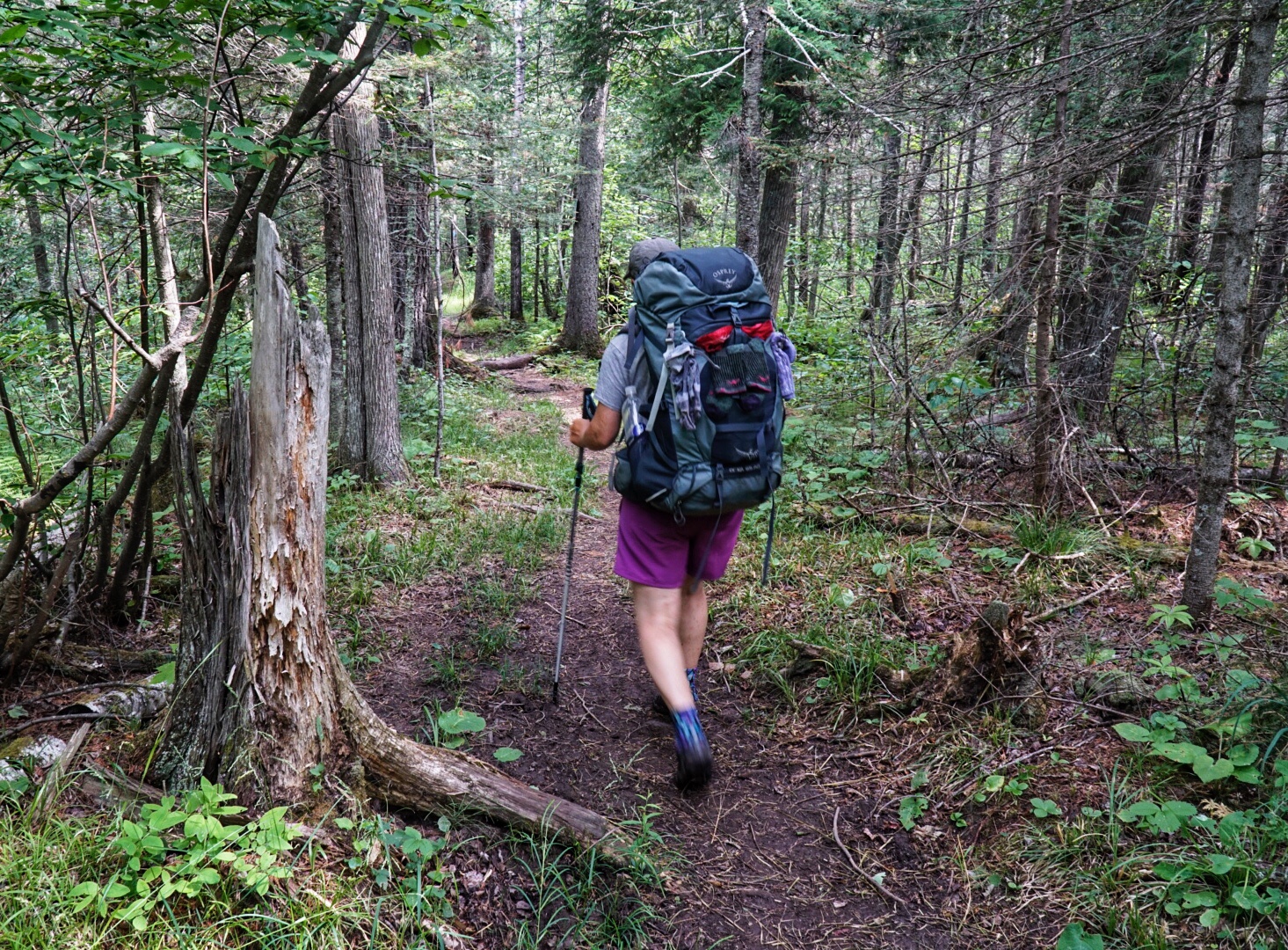


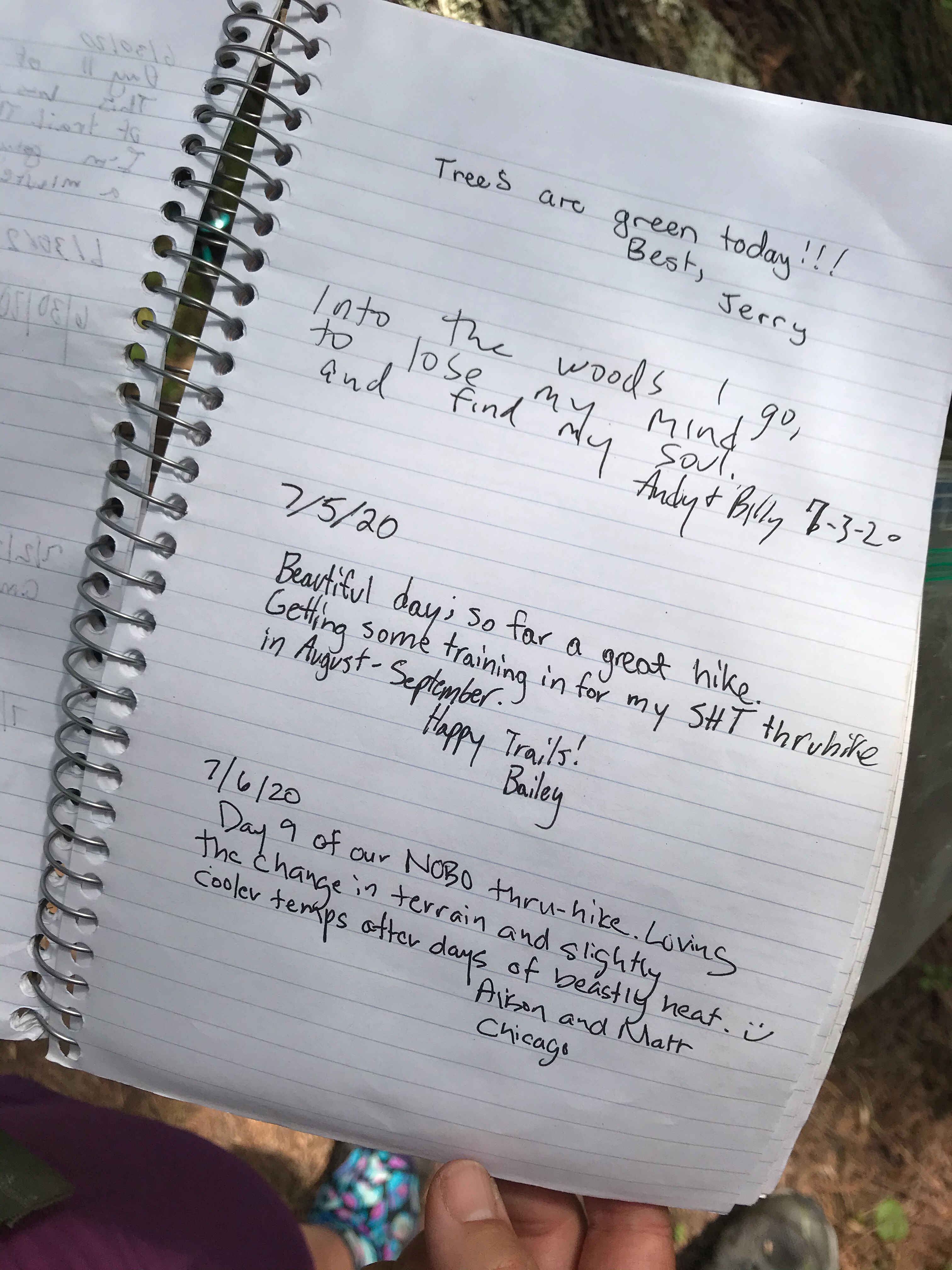
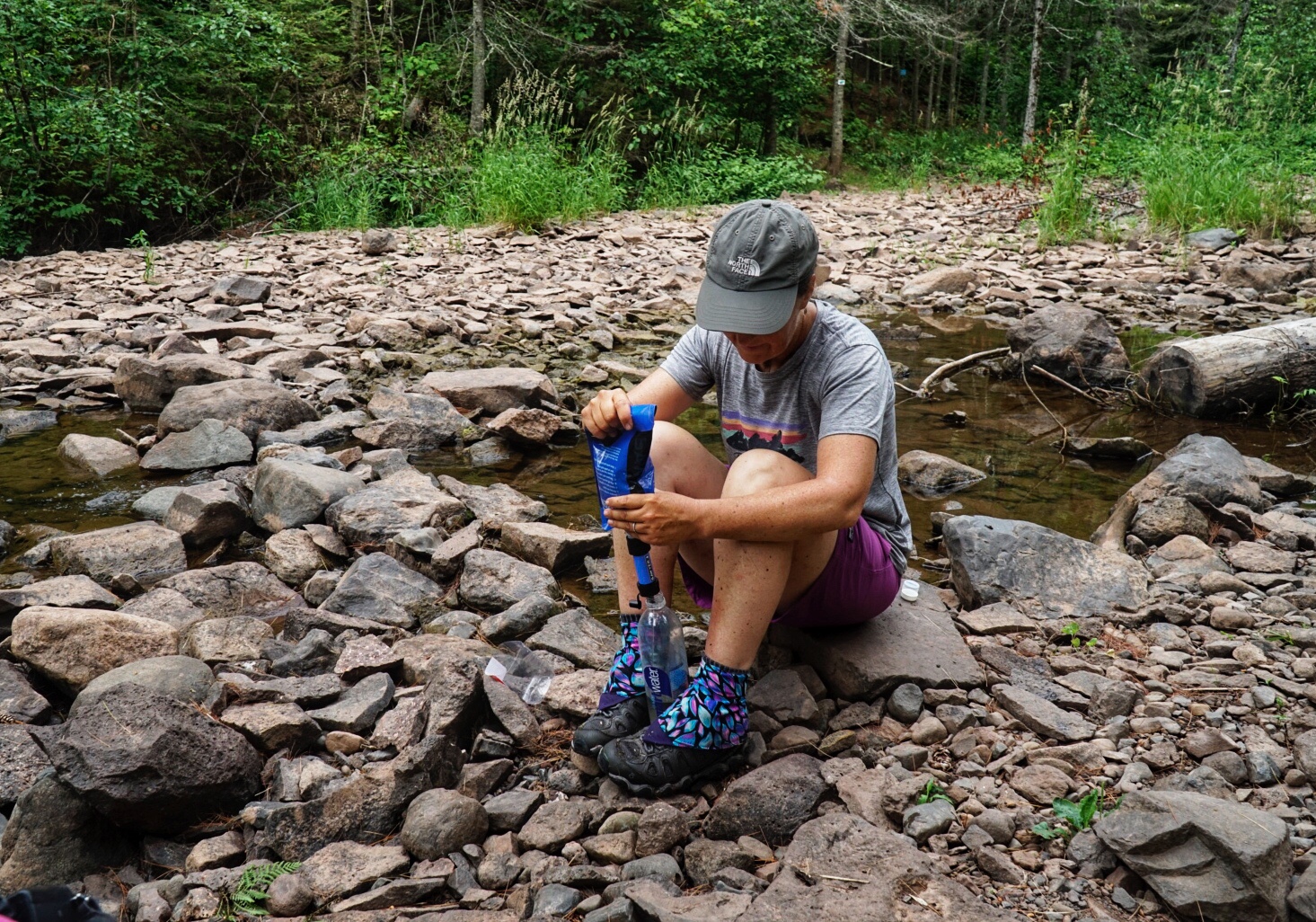
From there, we hike over lots of ups and downs to a series of rocky outcrops with breezes that feel heavenly after all of the heat we’ve experienced. We pass through Crow’s Creek, which is totally dry, but the dramatic red cliff walls on either side are pretty impressive, nonetheless.


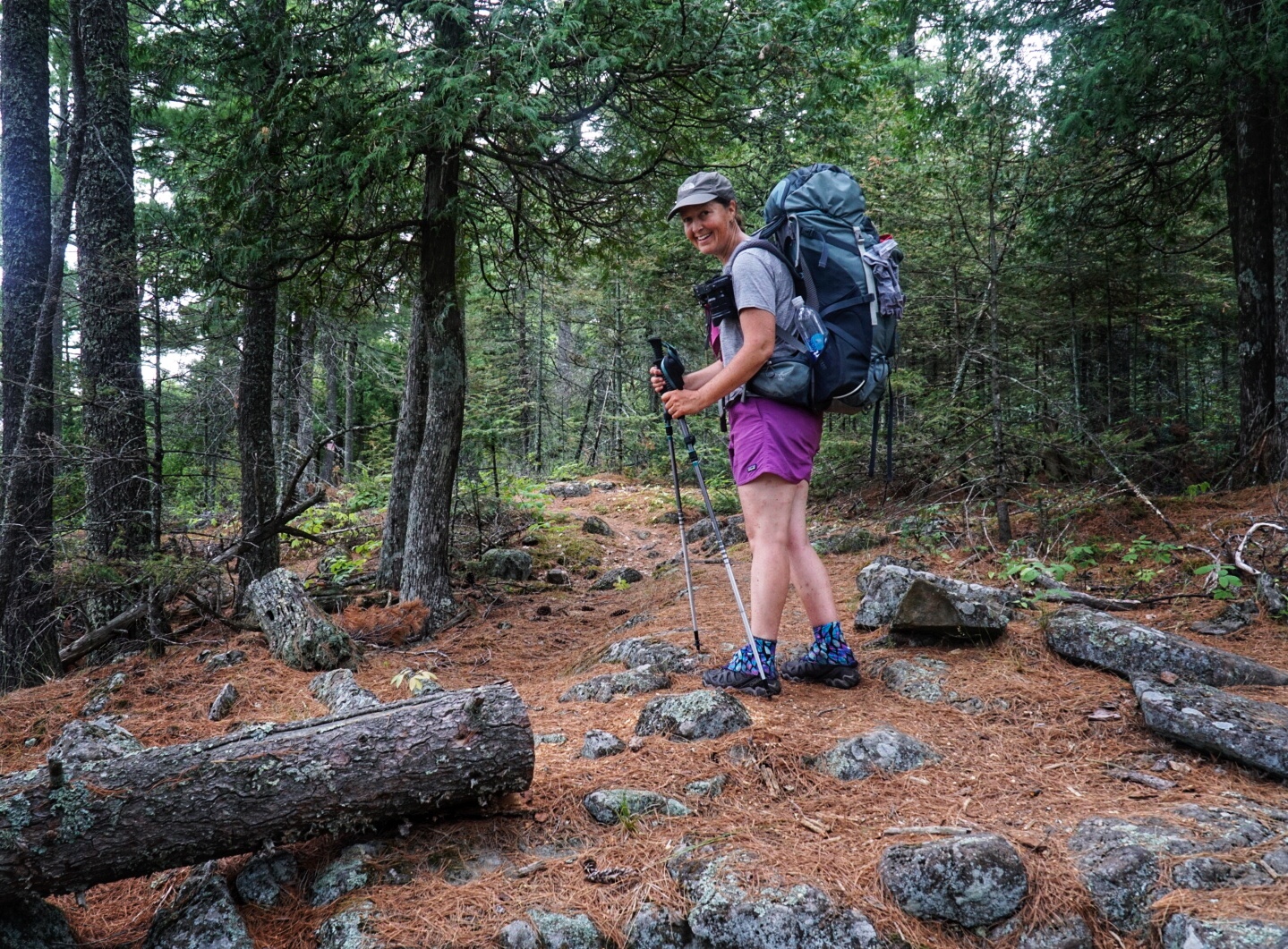
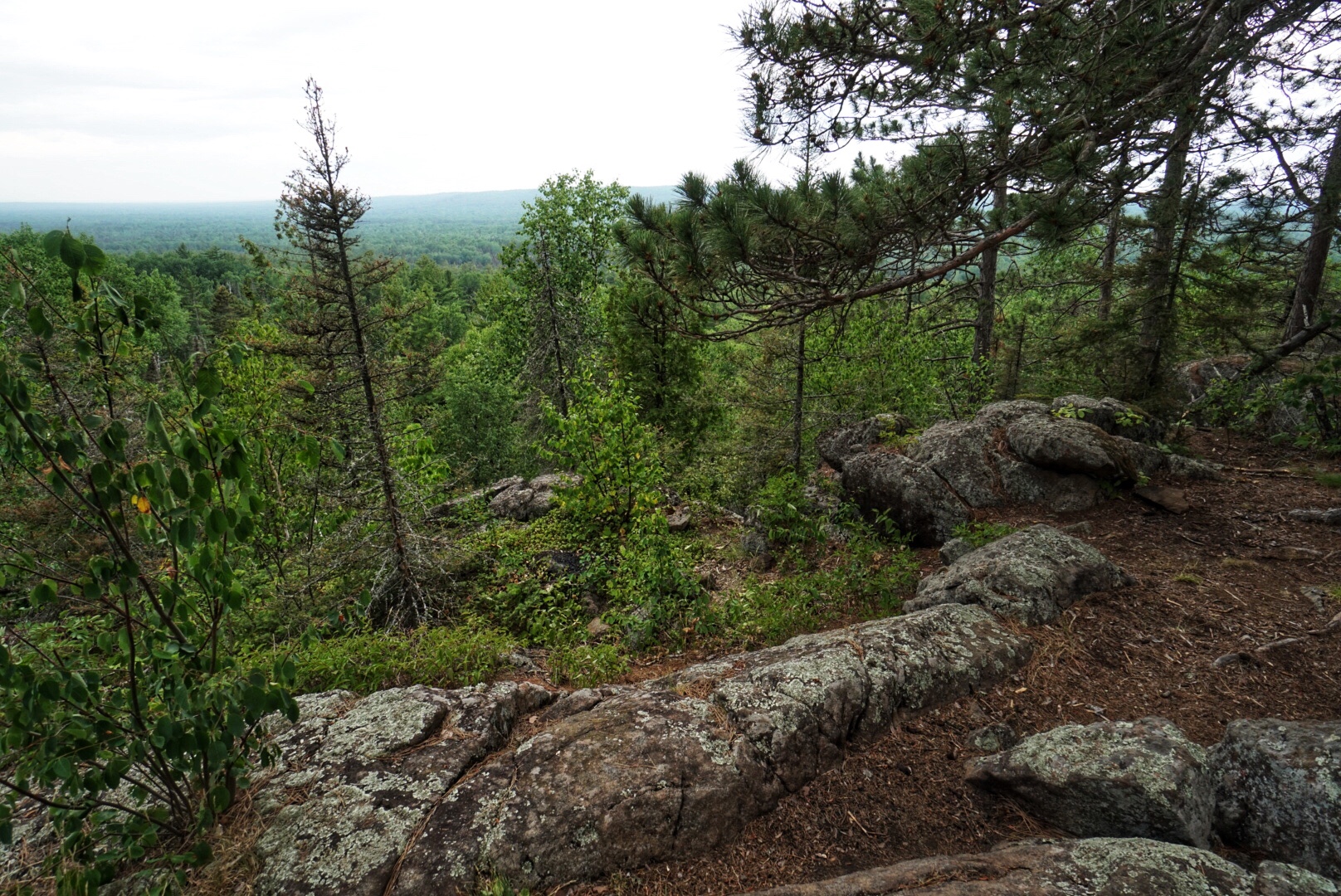


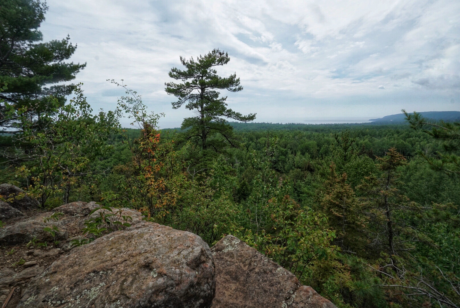
Next comes a steep climb back up to the ridge line with views to Lake Superior and the town of Castle Danger. For the first time we are looking down at the tree canopy and gaining a more expansive view. We stop a bit further along the trail at Wolf Rock to take a break for lunch. We take advantage of the opportunity to take off our wet shoes and socks, and our poor feet are so thankful.



Back in the forest, we hear the recognizable chirping of a woodpecker nest next to the trail. We only have to wait a few minutes to see a Yellow-bellied sapsucker fly in for a quick feeding. The only thing that hurts our feet more than hiking is standing still, so we move on after that even though it would be fun to stick around and observe the nest for a while longer.
We turn a corner on the ridgeline, and the breeze has disappeared. The air here has become unbearably still and heavy. Our entire bodies quickly become drenched in sweat.


We are very focused on getting to camp as fast as we can, but the maximum hobbling speed of my aching feet is pretty pathetic and slows us down. We finally reach the first Gooseberry River camp where we are hoping to take a rest by the river and wash off some of the dirt and grime that we have accumulated during the day.
Situated high up above the river, we don’t even entertain the idea of using the extra energy to go downhill and back up again. Instead, we sit on a wooden bench in the common area and drain the last drops of the water we are carrying. We only have 1.8 miles to go to our campsite for tonight, so it shouldn’t be too much of an issue.
We load up again and head down the trail, skirting the river’s east bank. At first, we stay high above the water where we have a commanding view of the wide river. It seems oddly still from above. Matt spots a Belted Kingfisher perched on a branch of a tree on the near bank, but it flies off with a cackle just as we stop to take a closer look through the binoculars.
We gradually descend to the bottom of the hill, where the trail becomes level with the river. There we see an enormous beaver dam that spans the entire width of the river. It must be at least four feet high in places. The water makes a pleasant sound as it gently flows through the twigs, logs, mud and branches it is comprised of. This must be the Hoover Dam of beaver dams. We are impressed!

We drop our packs at the waters edge to quickly splash off. I notice that I am missing the cap to one of my SmartWater bottles. After cooling off, Matt makes a quick run back to the camp to look for it. Down by the water, I can see dark clouds off in the distance and start to hear the rumblings of thunder. In a few minutes, Matt returns, but, unfortunately, he had no luck finding the missing cap.
We race against the incoming storm for the next 2 miles to our campsite for the night. Almost immediately the wind starts blowing hard, and the skies darken, giving us a little extra pep in our step.

It starts to rain just before we get to the Gooseberry Group Site that we have all to ourselves tonight. We find a dry tent pad under an old Spruce pine and set up the tent quickly. Next comes the best moment of the day when we finally get to take off our shoes and relieve our poor waterlogged feet. We are doubtful that they will ever be the same again.
After a short rest, we head back to the river to filter water. Thankfully, the rain has stopped, and chilling out by the water’s edge for a short while is enjoyable.

We make dinner back at the campsite and start discussing alternatives to finishing the trail due to the sorry state of our feet. We are just a few miles from Gooseberry Falls State Park where we will encounter many people, Highway 61 and a good opportunity to alter our plans if necessary. We decide to sleep on it and see what our feet are telling us in the morning.
Day 9 Stats

Starting Point: Silver Creek Campsite
Ending Point: Gooseberry Falls Campsite
Miles Hiked: 13.4
Miles to Canada: 184.5
Bird of the Day: Belted Kingfisher

Great pictures of the lilies. By the way, what do you use as an energy source? Your camera must need a charge from time to time.
Thanks, Jim! We carry a few batteries and try to turn our camera off when we aren’t using it, so we are able to go for 6-7 days before running out of power (depending how much we are shooting). We also have an Anker battery brick that we can use if we need to between town visits.
Just viewed this day of hiking. Yikes! It scares me to look at the photos. Beautiful country but to say the least, challenging. Thanks for letting us follow your trek. Be safe.
It’s always so nice to hear from you, Marj! We didn’t find the terrain too challenging on this hike, but the heat, humidity and bugs were really difficult to deal with. I’d take a hard uphill over conditions like these, for sure. Hope you and Jamie are doing well!
What a great journey! Really enjoying reading about your adventures! How was the Frito bean burrito? Love the pictures of the Turks Cap Lilies.
Thanks so much for following us on this journey. We really appreciate it! We love the Frito bean burrito. We get the dehydrated bean mix from Mary Jane’s Farm. We love it, but it is even better with the crunchy texture of the Frito’s. Highly recommended! 🙂
https://shop.maryjanesfarm.org/Bare-Burrito
Sounds good! I will take a look!