
Our guidebook describes this as the toughest day of the Haute Route so far, so we are up at 5:30 to have an early breakfast and get on the trail as early as possible. By the time all is said and done, it’s 7:00 by the time we leave the refuge, and we walk out the door just as Tony and Jenny are leaving, too. We have found the most difficult of the route-finding experience is figuring out where to go right out of the gate, so we are grateful to have two extra minds working on which way to head.
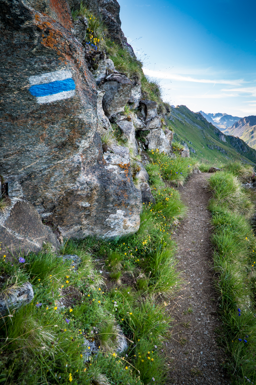
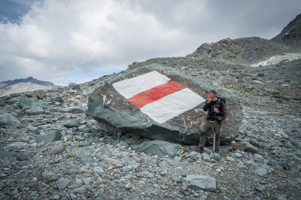
After a short false start, we backtrack and find the sign that points us towards Col Termin. The book says the blazes should be red and white, but it looks like they have been recently painted blue and white. We are curious what that may mean, but we don’t give it too much thought before we head on.

We could see the trail we are starting on this morning from the refuge last night, and it looked like the tiniest goat trail skirting around the cliff. Coincidentally, it is named “Sentier du Chamois” or “Trail of the Mountain Sheep.” I tried not to think about it during the night, but now it’s time to face the music and see what we have gotten ourselves into.
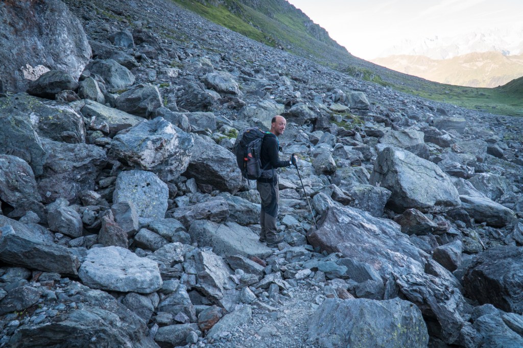
I fear for the worst, but the trail is pretty level to start off with. This makes me super happy, and we march on making some good progress. Even so, Jenny and Tony are much faster hikers than we are, and they are out of sight before we get around the first bend of the trail. We enjoy their company, but it’s best for hikers to hike their own hike, so we don’t begrudge them for wanting to move along at their own pace.
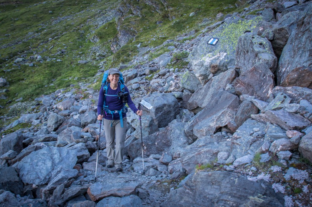
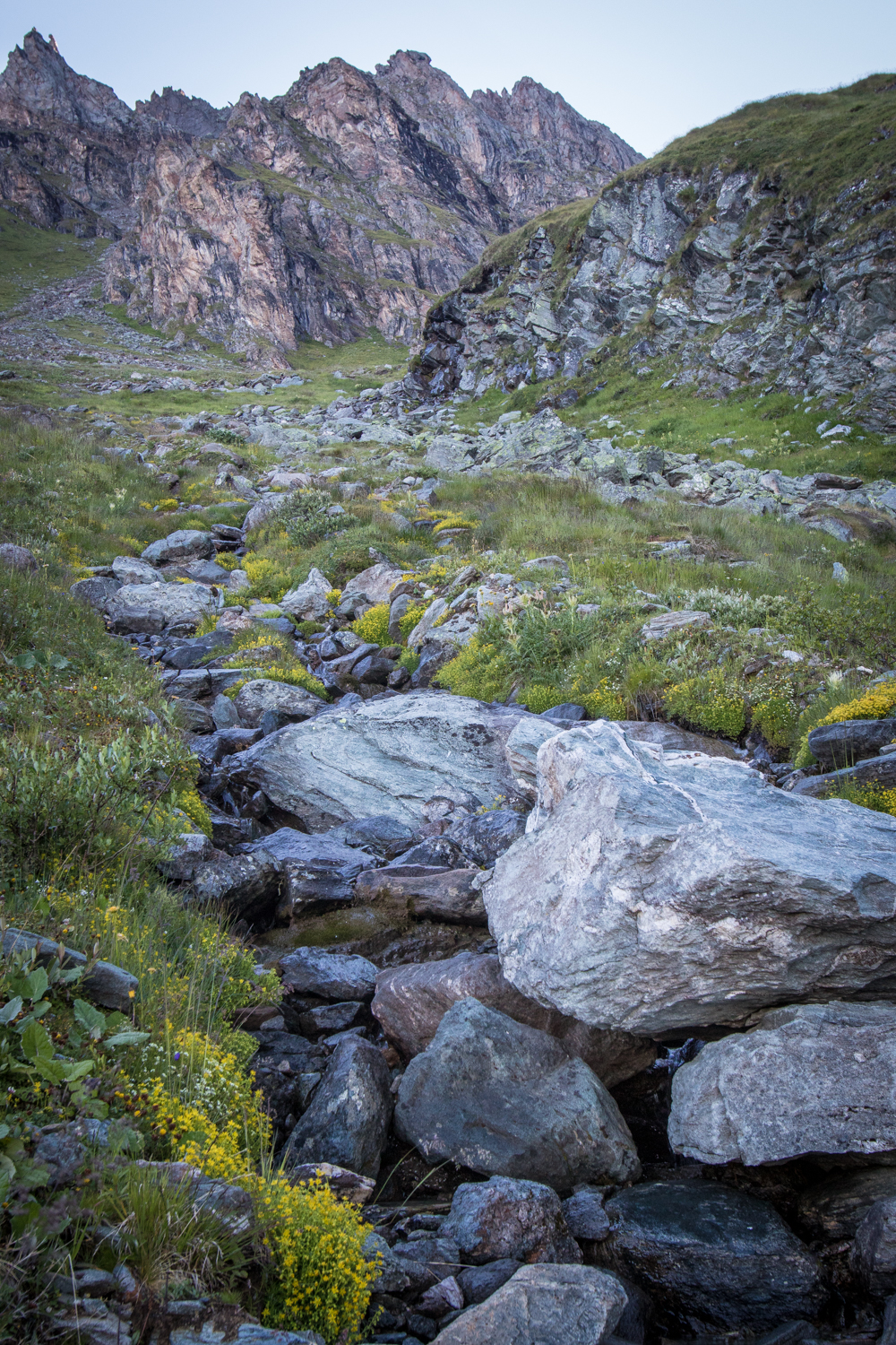

We left early enough this morning that the sun has yet to crest the ridge of the massif we are walking around, and this makes the photography a challenge. The trail and our immediate surroundings are dark and in shadow, but the mountains we are staring at, including the Mont Blanc and Combin massifs, are being lit up by the bright morning sun. The dynamic range between the light and dark is simply too much for our cameras for the time being.


As we make our way around the outside edge of the mountain, the sun is high enough in the sky to illuminate the gorgeous scenery more evenly. The cameras come out in full force now, and we stop every few feet to capture the views. The wildflowers along this section are particularly beautiful.

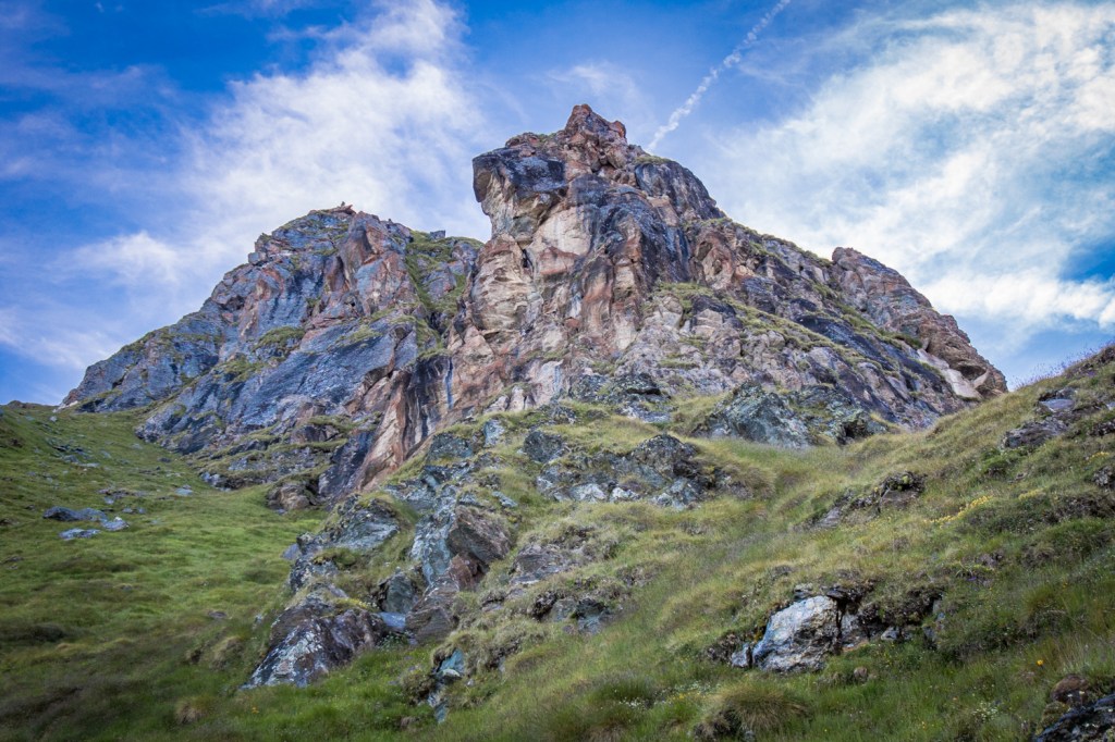


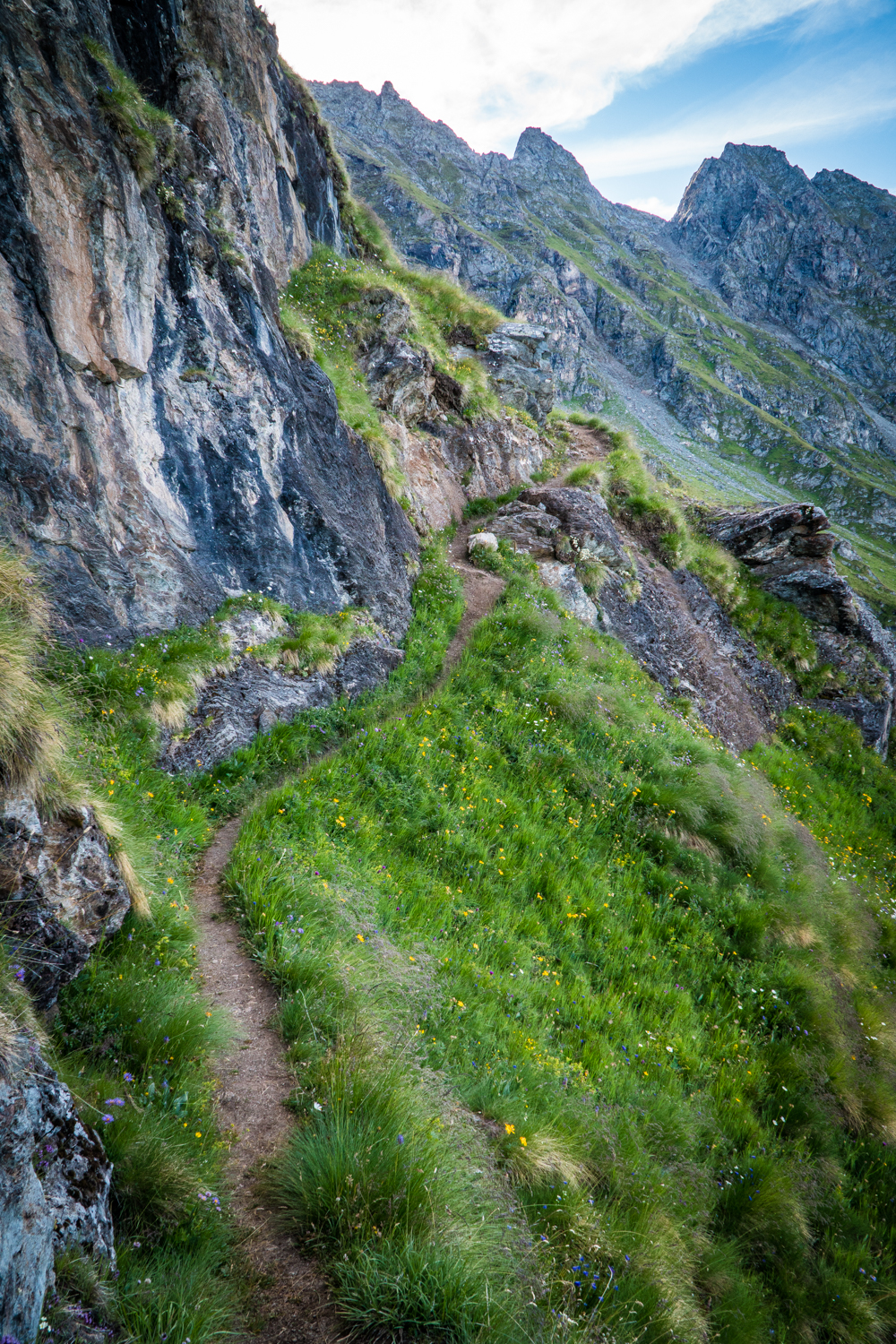

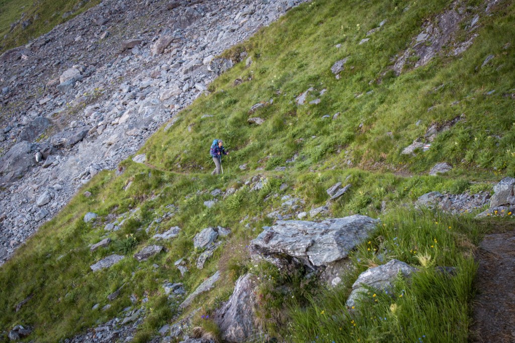
Eventually, we come to a rocky section where a sign advises us about the danger of rockfall. It is expressly forbidden to stop in this area. We heed the advice and make our way across the rocky trail as quickly as possible.



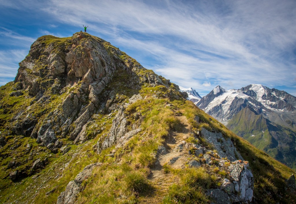
After a few hours, we finally come to the Col Termin (2648 meters), and stop there for a short break. We are finally in the sunlight now, and the views are stupendous. Matt climbs up a small summit above the pass to get some better views of Petit Combin, while I stay below and get some cool shots of him from a distance.

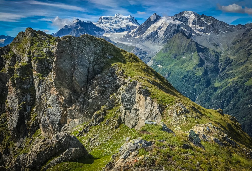


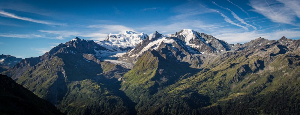
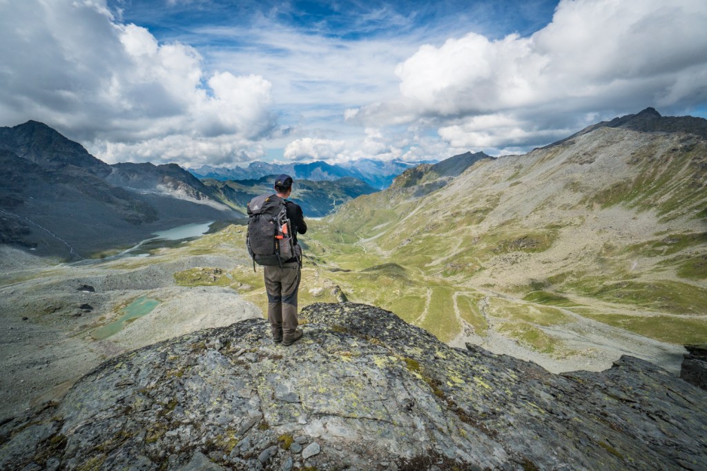
From there, we descend a bit and follow the trail along a catwalk to Col de Louvie. Way down below us is the Lac de Louvie, sparkling in the sunlight and just begging us to stop and admire it instead of moving on. It’s a good thing we got an early start this morning. At this pace, it is going to take us all day to get to the next refuge!
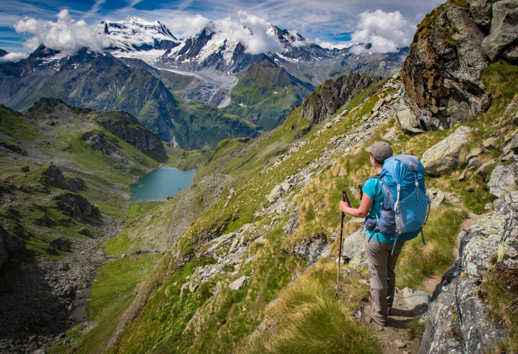
Shortly after leaving the pass, we come across a group of four backpackers from Denmark who are hiking the trail in the opposite direction. They tell us it is spectacular, but there will definitely be tough sections in the days ahead, which we have come to expect on these European hikes. The trails are definitely steep here, and it seems Europeans believe that switchbacks are for weenies.
There is only one woman in this group of four, and she is missing most of her left arm. I am impressed that she is handling this rough terrain with only one arm. When the going gets rough, I am definitely going to remind myself of her and push myself harder.


Before long, I hear a strange noise coming up from behind me. At first, I think it’s a drone, but, as it gets closer, I can tell it’s a radio. Australian David has caught up to us and is hiking with a soundtrack. We chat and hike together for awhile, but he is also faster than we are and passes us by as we get to a boulder section that requires some scrambling. This is now the second time we have faced boulders on the Haute Route, and it doesn’t seem quite as bad as when we were coming down from the Arpette on the TMB. Experience definitely builds confidence.

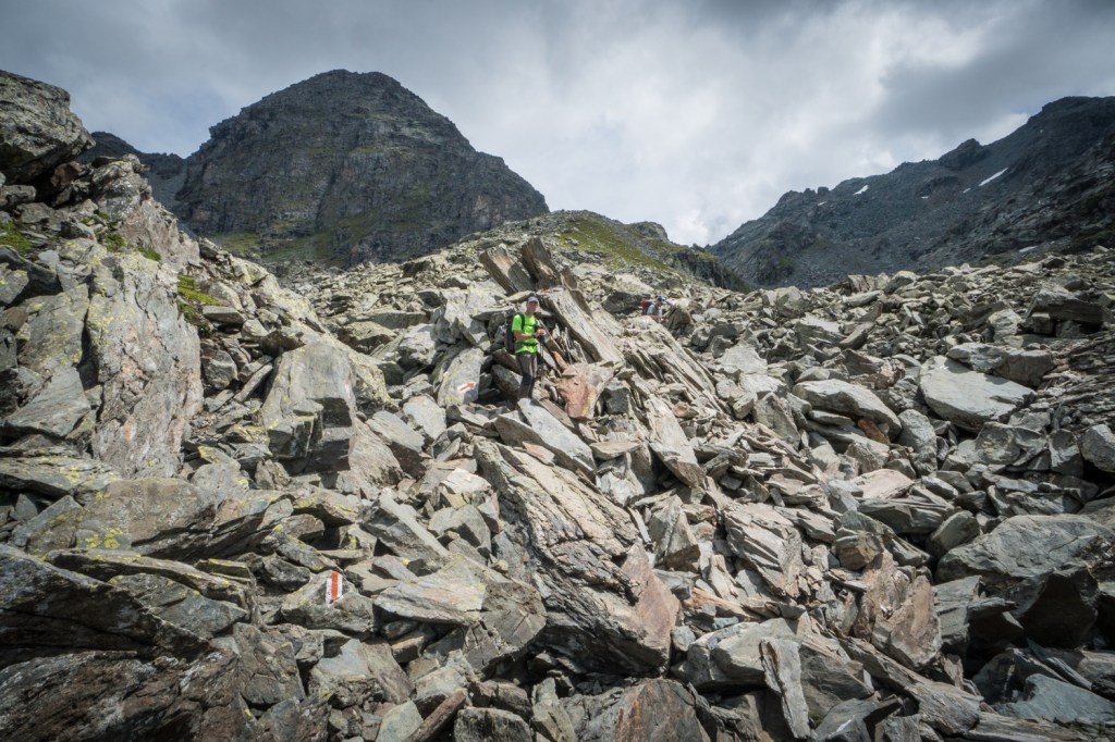
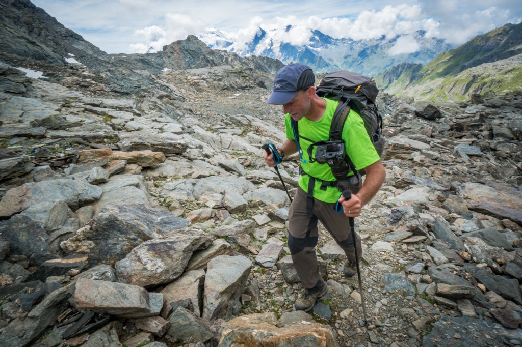
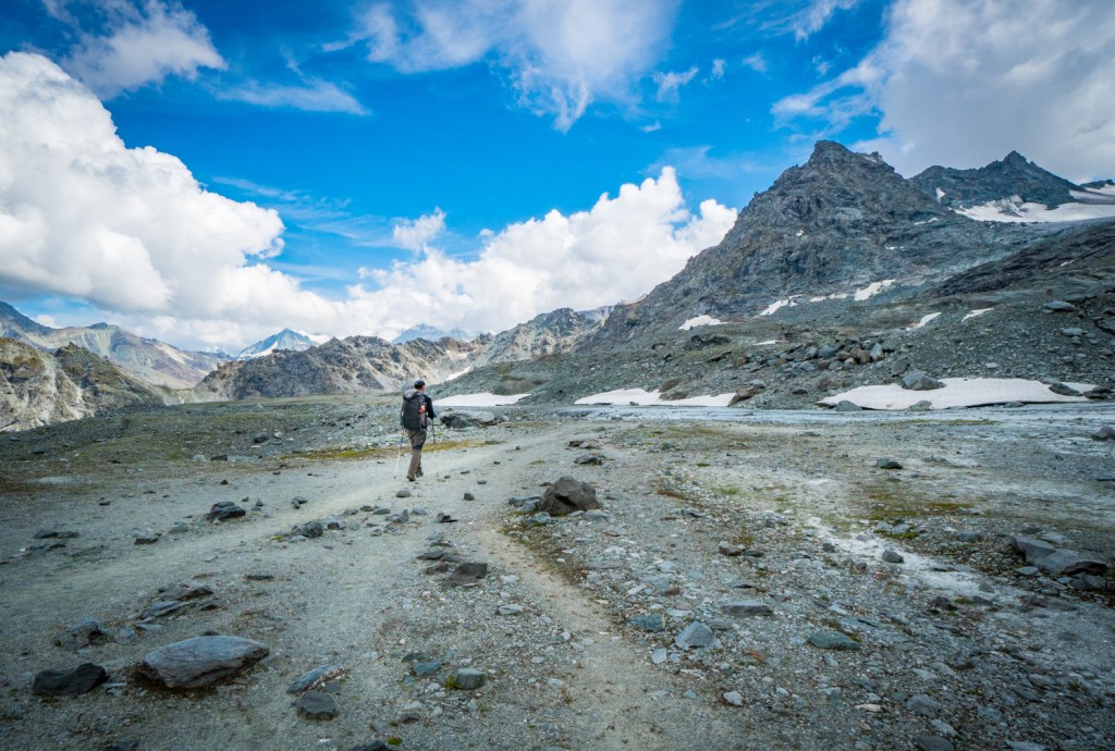
Just before the pass, the trail gets a bit easier, and we reach the Col de Louvie (2921 meters) just in time to see David take off. We drop our packs for a lunch break and then head over a few snowy patches before encountering more boulders on our way down to the Grand Desert Valley, a vast, stark, rocky gray expanse where it suddenly looks like all of the life has been sucked out of the trail.

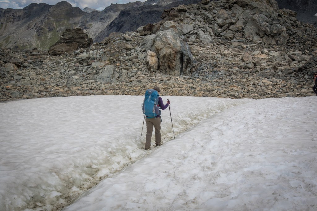
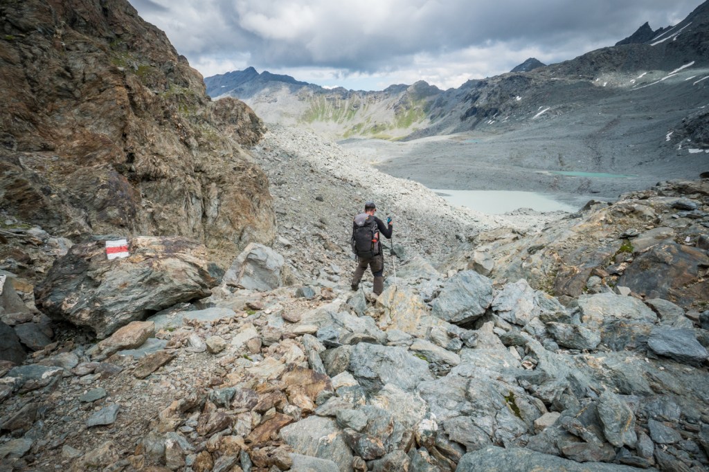

The sun has disappeared behind the clouds, and the only color that we see anywhere is in the little flowers that grow between the rocks and the red and white cairn marks that guide our way across the immense valley.


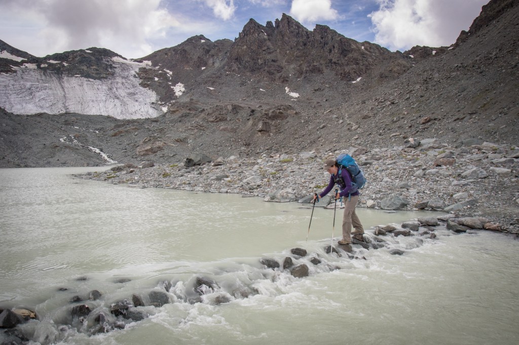
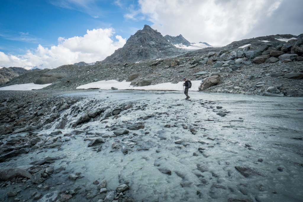
The Grand Desert Glacier dominates the landscape to our right, and we have to negotiate several of its outflows that drain across the basin. One of the rivers is quite wide, and there are stepping stones to help cross. They are all pretty solid, but a few of them are submerged beneath the fast-flowing, milky water, which makes my heart start pounding and my breathing get heavier.

Matt crosses first and then shouts guidance from the opposite bank. I make it about halfway and then freeze where a rock appears to be missing. Matt yells that I need to find a rock below the water to step on. I finally build up the nerve to do as I am told and make it across to the other side with only some wet pants and boots to show for it.


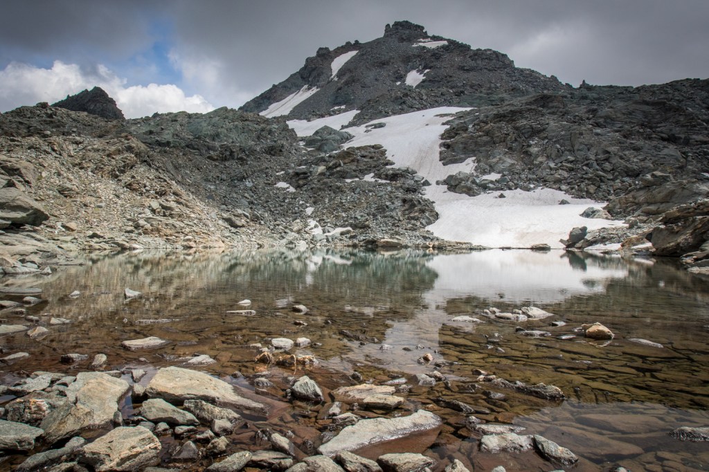
Other than that, the basin is quite flat, and we enjoy the easy walking for as long as it lasts, which definitely isn’t long enough in our books. Before long, the boulder hopping starts again as we contour up to our final pass of the day. There’s a snow field, a nice, little lake as well as a lot more boulders to negotiate before we get there, but it’s quite a thrill when we finally see the sign indicating that we have made it to the Col de Prafleuri (2965 meters).




We take a short snack break and chat with a young Swiss girl who is waiting on her mother at the top. Although it would be nice to linger a little longer at the top, the pressure of making it to the refuge for dinner time is ever present, so we press on. The trail is steep, and our legs are tired, so we aren’t moving particularly fast.


Matt is always ahead of me, and I encourage him to go on once the refuge is in sight. He resists, and we walk down together. The sun finally comes out again, but the scenery is still barren, gloomy and gray. We keep descending until, at last, we reach the final approach to Cabane de Prafleuri (2662 meters), which is up a steep path and seems somewhat cruel at this late stage of the day. We arrive at the top, huffing and puffing, to find loads of trekkers sitting outside, drinking beers and enjoying the atmosphere.


We head in, remove our boots and hang our poles before checking in with reception. It takes the woman a while to find our names, but she finally does, which is good because they are fully booked for the evening.
Our room is rather small, and we are the last to arrive, so we are left with the top bunks. Jenny and Tony are in the bottom bunks, and there is a French couple in a loft space upstairs. There are two showers and two toilets downstairs, but they charge 5 Swiss francs for a shower, which we figure is better spent on beer. We grab one and hang out outside until dinnertime.
At dinner, we are sat at a table with mostly French-speaking people and do our best to try to chat with them. The food is served family-style, and everyone is in a little bit of a panic to make sure we are each getting our fair share of the food. Once dinner is over, and the crowd has cleared out, we try to do a little writing, but it’s been a long day already. I give up before 9 and head to bed, but Matt ventures out for a view of the sunset before joining me in our upper bunks.


Everyone is already in bed for the night, and he climbs up to the bunk as quietly as possible and settles in. It has been a long and challenging day, but the magnificent views we encountered today keep playing through my head as I drift off to sleep.


As always your photos are just stunning! What a beautiful part of the world!
Thanks so much, Anna! Have you had a chance to hike in the Alps during any of your travels?
Sadly no… When I was in the Alps I was 21 and lazy…. Took the gondola up! Lol. I got into hiking more in my 30s! I need to get back and do a hike of the alps!
That’s too funny! Yes, we are looking forward to returning to the Alps ourselves, hopefully sometime soon!
After seeing the photos of the precarious trail sections that you navigated, I think you have been very considerate of your parents by not posting any pictures until those shots were merely of historical value 🙂
LOL! Some of those trails were more treacherous than we would have liked, for sure. Sometimes it is best to post after the fact, when everyone is well-assured that we made it through safe and sound!